What a grand (and challenging) adventure!
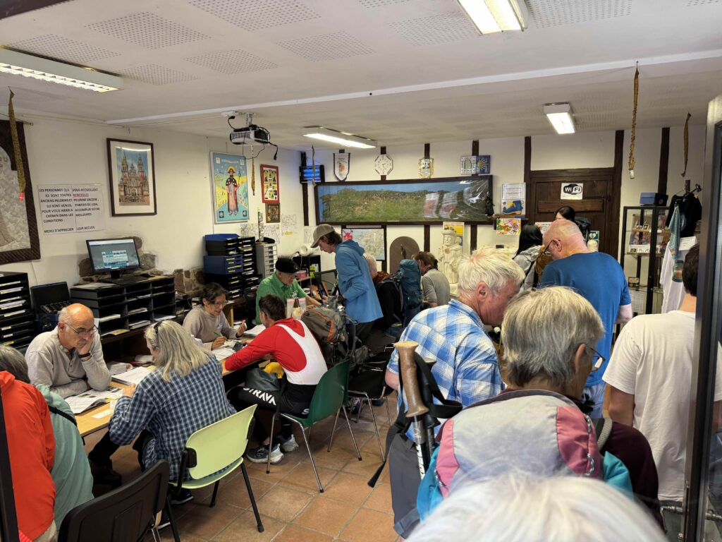
We planned our trip a year in advance and used a company to book our reservations from St. Jean Pied de Port all the way through to Santiago de Compostela. Why? We wanted reserved private rooms with private baths so we knew where we would be staying. We also wanted our luggage transported along the way so all we had to carry with us during the day were light packs.
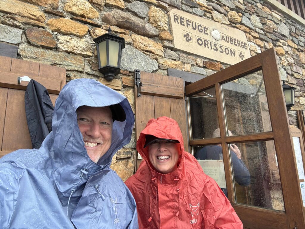
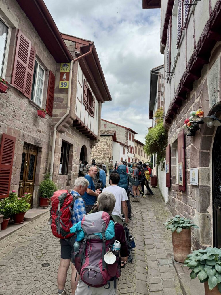
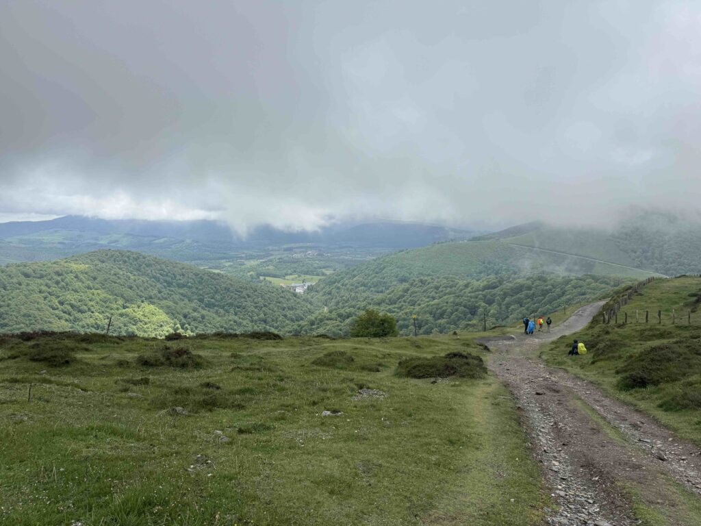
There is no way to simulate the Camino experience ahead of time unless you are retired. Walking an average of 14 miles a day takes 6-7 hours factoring in some breaks along the way. Day 1 on the French Way goes up and over the Pyrenees Mountains . The Napoleon route for that stage is uphill straight out of the gate in St. Jean Pied de Port for 12.5 miles to the crest with an elevation gain of 4000 feet – its a haul! After the crest, there is a pretty steep 3 mile descent into Roncesvalles. It’s doubtful you will find a way to practice that near where you live. Best Advice: Try getting in several 8-10 mile walk days in a row to see how things feel on day 4, 5 or 6. I would also get a 20 mile day in to conquer that mentally.
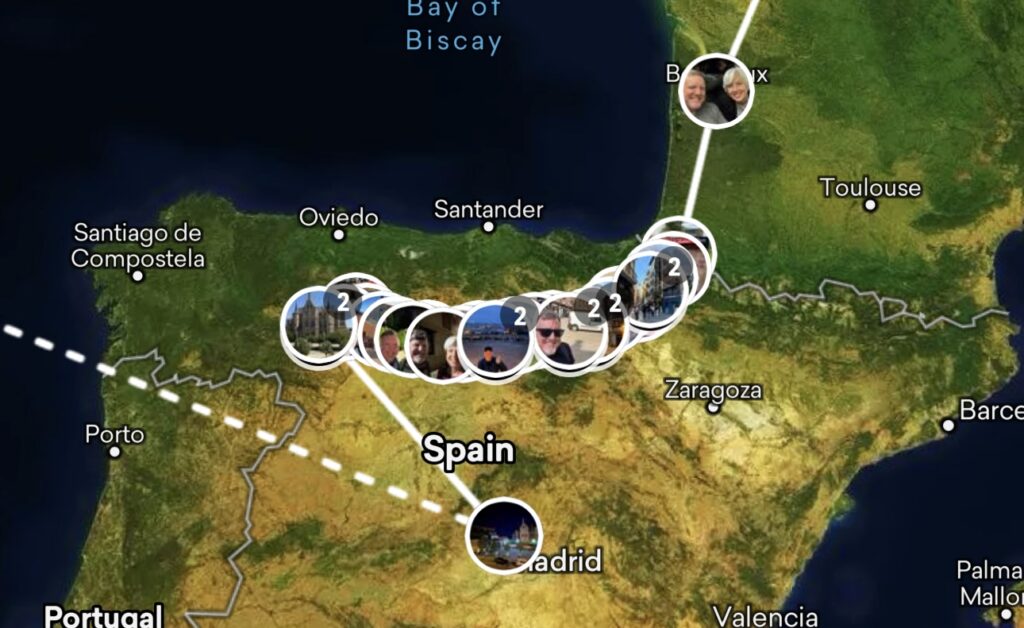
The Camino de Santiago Francés (French Way) is the most popular pilgrimage route to Santiago de Compostela, beginning in Saint-Jean-Pied-de-Port in France and ending at the Cathedral of Santiago de Compostela in Spain. It typically spans about 780 km (485 miles) and is usually completed in 30 to 35 stages, depending on your pace and route customization.
Here’s a breakdown of a common 33-stage itinerary, with approximate distances per day and a couple of alternates. People usually work in 5-6 rest days as well:
Typical Stages of the Camino Francés
| Stage | From → To | Distance in Miles (km) |
|---|---|---|
| 1 | Saint-Jean-Pied-de-Port → Roncesvalles | 15.2 (24.5) |
| 2 | Roncesvalles → Zubiri | 13.3 (21.5) |
| 3 | Zubiri → Pamplona | 13.2 (21.3) |
| 4 | Pamplona → Puente la Reina | 14.3 (23.0) |
| 5 | Puente la Reina → Estella | 13.4 (21.5) |
| 6 | Estella → Los Arcos | 13.7 (22.0) |
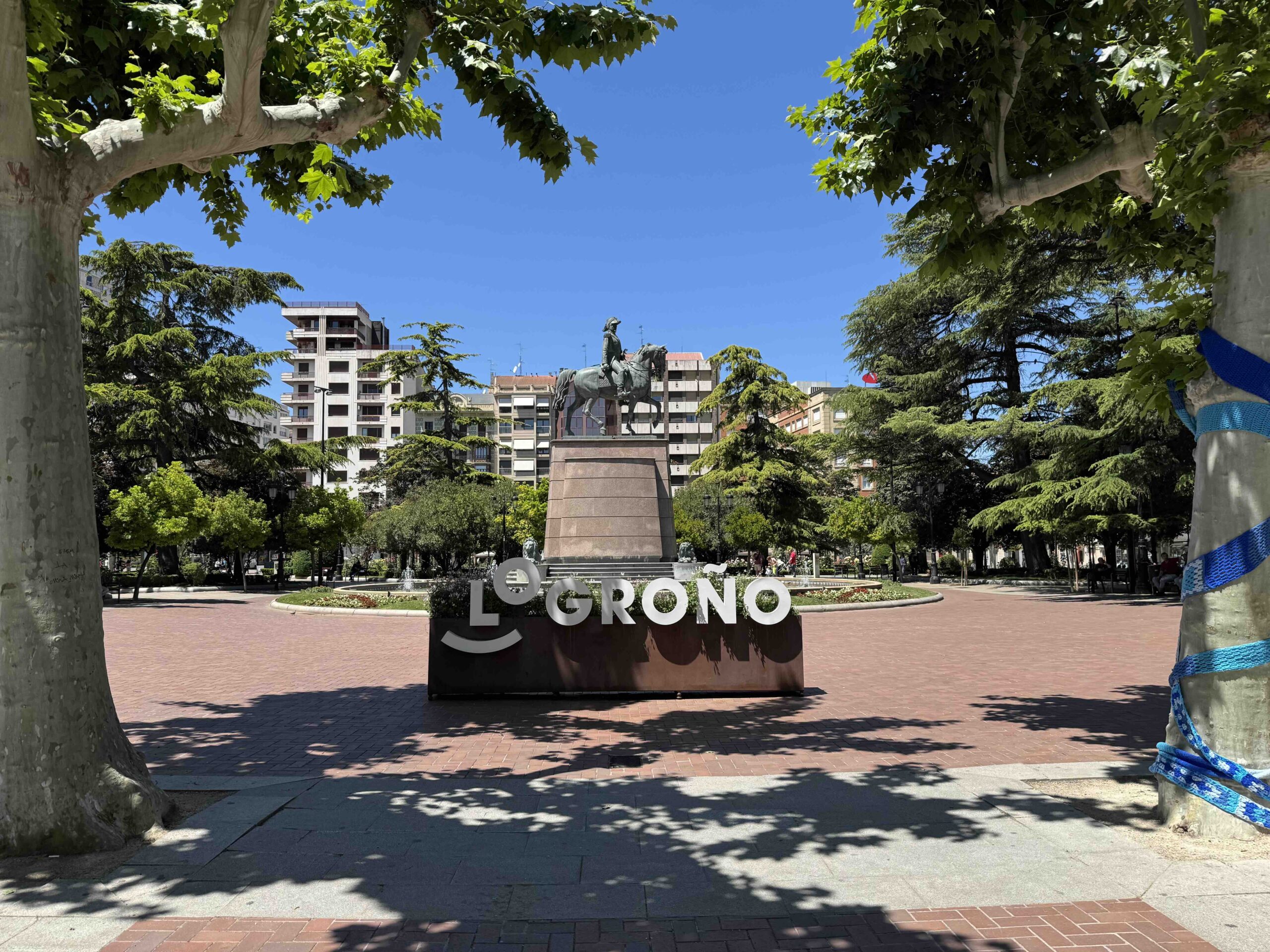
| 7 | Los Arcos → Logroño | 17.5 (28.1) |
| 8 | Logroño → Nájera | 17.8 (28.7) |
| 9 | Nájera → Santo Domingo de la Calzada | 13.2 ( 21.3) |
| 10 | Santo Domingo → Belorado | 13.4 (21.6) |
| 11 | Belorado → San Juan de Ortega | 14.9 (24.0) |
| 12 | San Juan de Ortega → Burgos | 15.5 (24.9) |
| 13 | Burgos → Hornillos del Camino | 13.3 (21.5) |
| 14 | Hornillos → Castrojeriz | 12.0 (19.4) |
| 15 | Castrojeriz → Frómista | 15.6 (25.1) |
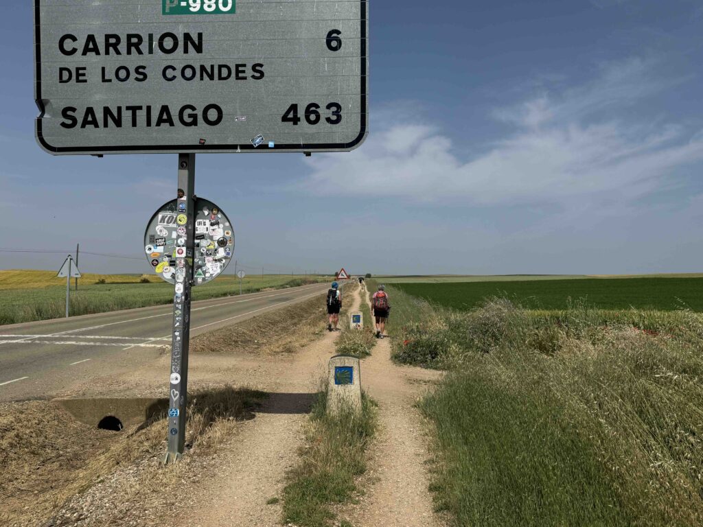
| 16 | Frómista → Carrión de los Condes | 11.7 (18.8) |
| 17a.1 | Carrión → Calzadilla de la Cueza | 10.6 (17.0) |
| 17a.2 | Calzadilla → Sahagun | 13.7 ( 22.1) |
| 17b | Carrión → Terradillos de los Templarios | 16.8 (27.0) |
| 18a | Sahagun → El Burgo Ranero | 10.9 (17.6) |
| 18b | Terradillos → El Burgo Ranero | 18.6 (30.0) |
| 19 | El Burgo Ranero → Mansilla de las Mulas | 11.8 (18.9) |
| 20 | Mansilla → León | 11.6 (18.7) |
| 21a | León → Villar de Mazarife | 13.0 (20.9) |
| 21b | León → Hospital de Órbigo | 19.9 (32.0) |
| 22a | Villar de Mazarife → Astorga | 19.7 (31.7) |
| 22 | Hospital → Astorga | 10.6 (17.0) |
| 23 | Astorga → Rabanal del Camino | 12.3 (19.8) |
| 24 | Rabanal → Ponferrada | 19.6 (31.5) |
| 25 | Ponferrada → Villafranca del Bierzo | 15.3 (24.6) |
| 26 | Villafranca → O Cebreiro | 17.7 (28.4) |
| 27 | O Cebreiro → Triacastela | 13.0 (20.9) |
| 28 | Triacastela → Sarria (via San Xil) | 11.3 (18.2) |
| 29 | Sarria → Portomarín | 13.6 (21.9) |
| 30 | Portomarín → Palas de Rei | 15.1 (24.3) |
| 31 | Palas de Rei → Arzúa | 18.1 (29.1) |
| 32 | Arzúa → A Rua O Pedrouzo | 12.4 (20.0) |
| 33 | O Pedrouzo → Santiago de Compostela | 12.4 (20.0) |
Notes:
- Distances can vary depending on your accommodation and detours (e.g., Triacastela has two routes, one via San Xil, the other via Samos).
- Many pilgrims choose to adjust stages—breaking up long days or combining shorter ones based on personal endurance, rest needs, or lodging availability.
- The final 100 km (from Sarria) is the minimum distance required to receive a Compostela certificate.
Gear
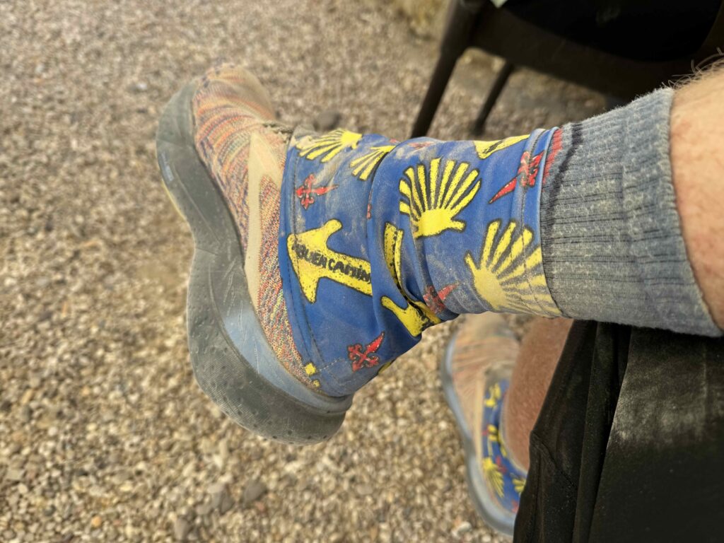
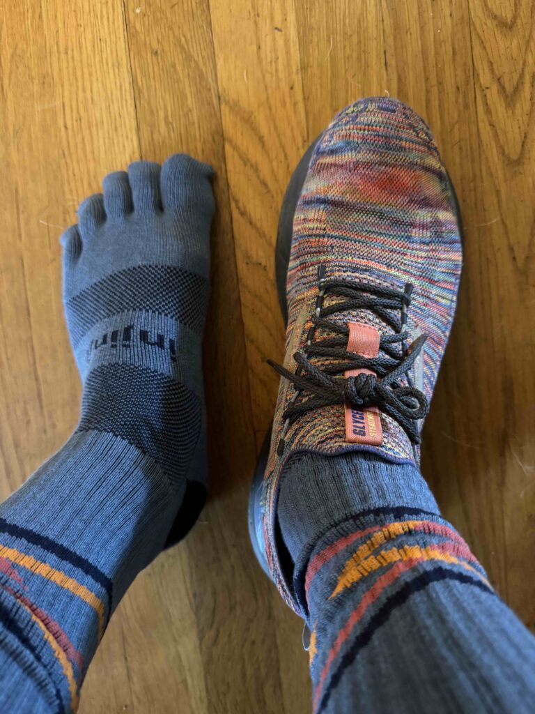
- Toe Socks vs HikeGoo: I wore Toe Socks and loved them. My wife used HikeGoo and was fine with plain toe socks.
- Brooks Glycerin Stealthfit shoes: I loved the comfort. Occasionally I would feel the jagged edge of a rock through the sole but it was manageable. I preferred the tradeoff of comfort and lightweight the rest of the time versus a hiking shoe or boot which would have had a more rigid sole and been heavier.
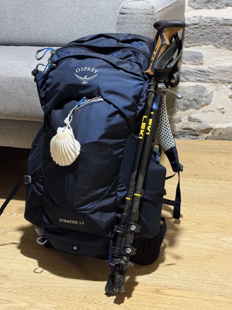
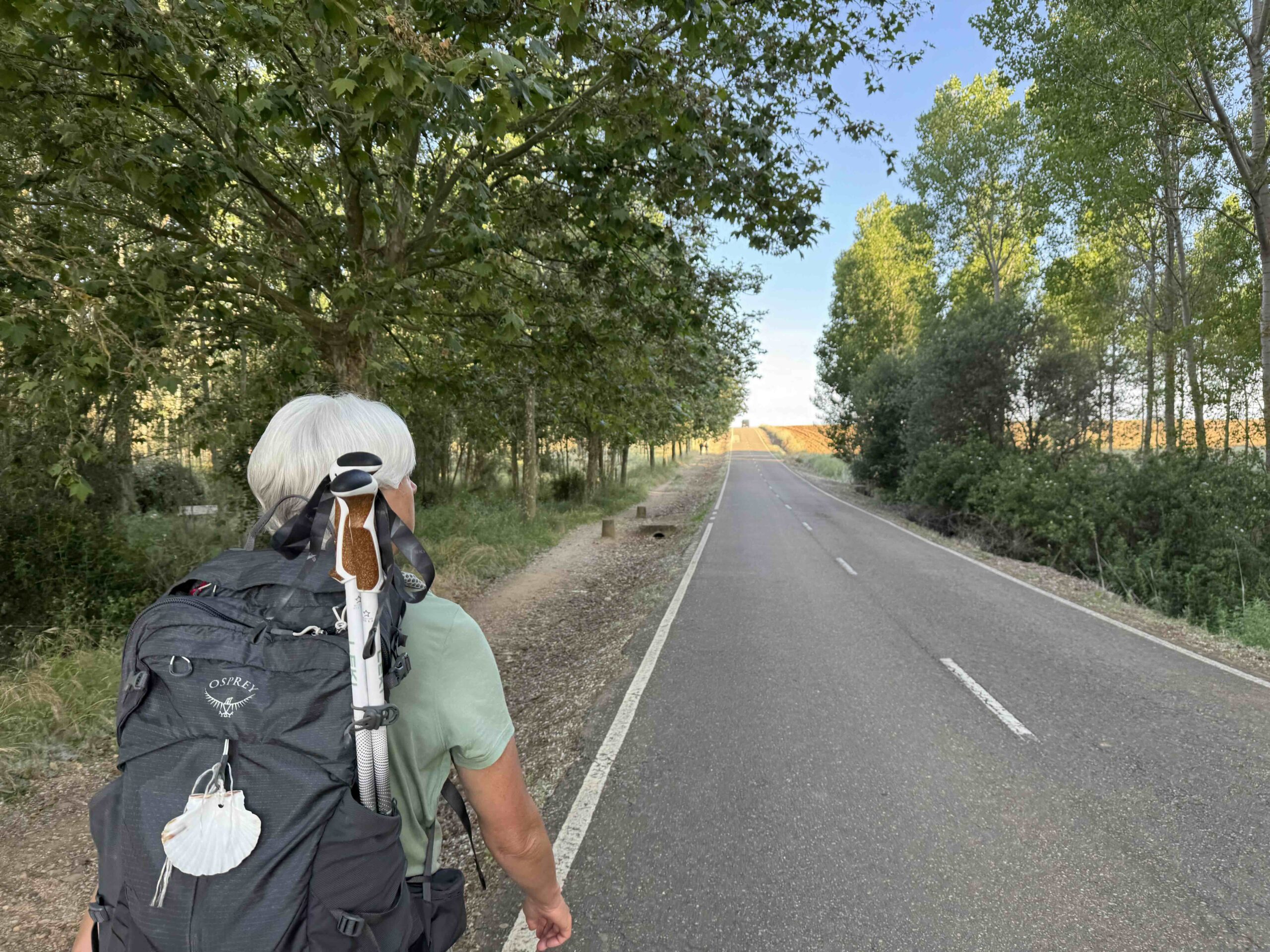
- Osprey Stratos 24 Day Pack: LOVED this pack. My back never felt hot and I am now a believer in the hip belt! Took the weight off my shoulders and was very comfortable even though I probably over packed with snacks, 2 water bottles and backup clothes.
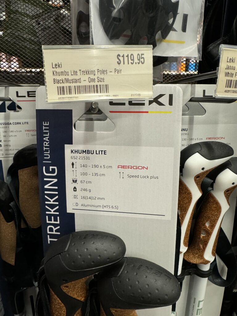
- Leki Trekking Poles: This is a tough one. We had to buy a special roller duffle that was big enough to fit the poles inside and yet not huge since we had weigh limits on our checked luggage once we were on the Camino. Some people buy trekking poles in St Jean Pied de Port. The cheaper poles are noisier though and that bugged us, so we were glad we took our nicer poles from home.
- Gaiters: I wore gaiters to keep the sand and trail crumble out of my shoes.
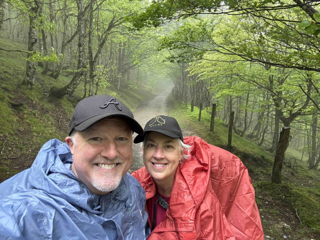
- Rain Poncho: LOVED our Altus rain ponchos. We bought them in St. Jean Pied de Port at a store near the Pilgrim Office.
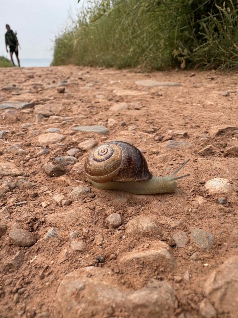
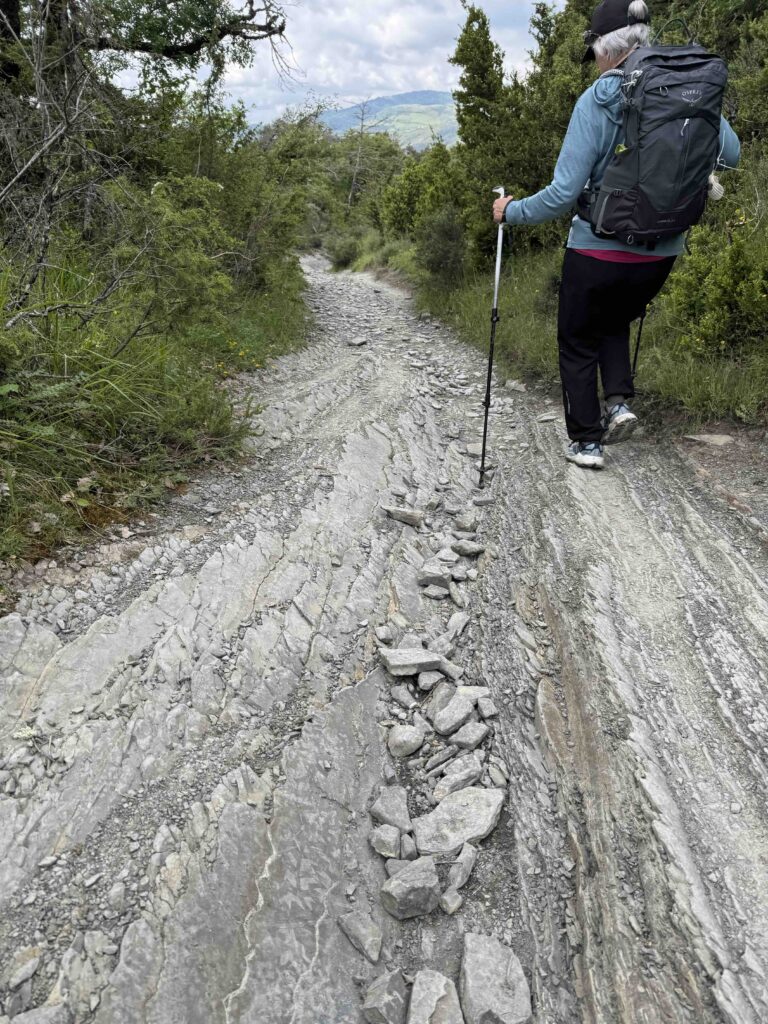
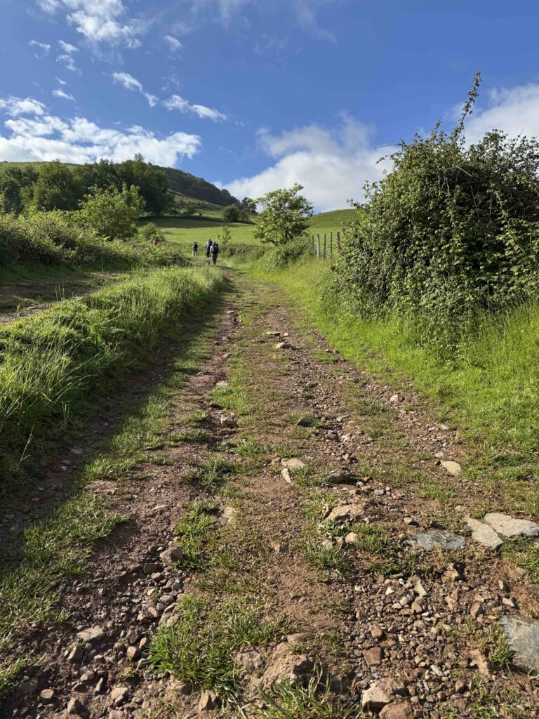
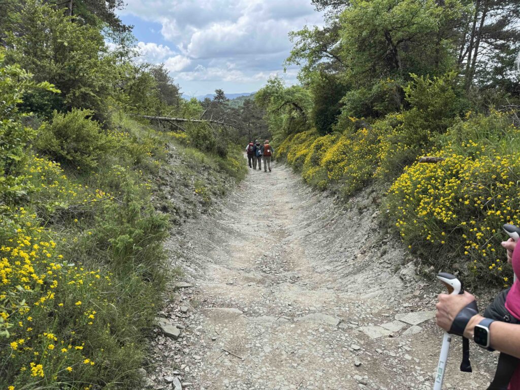
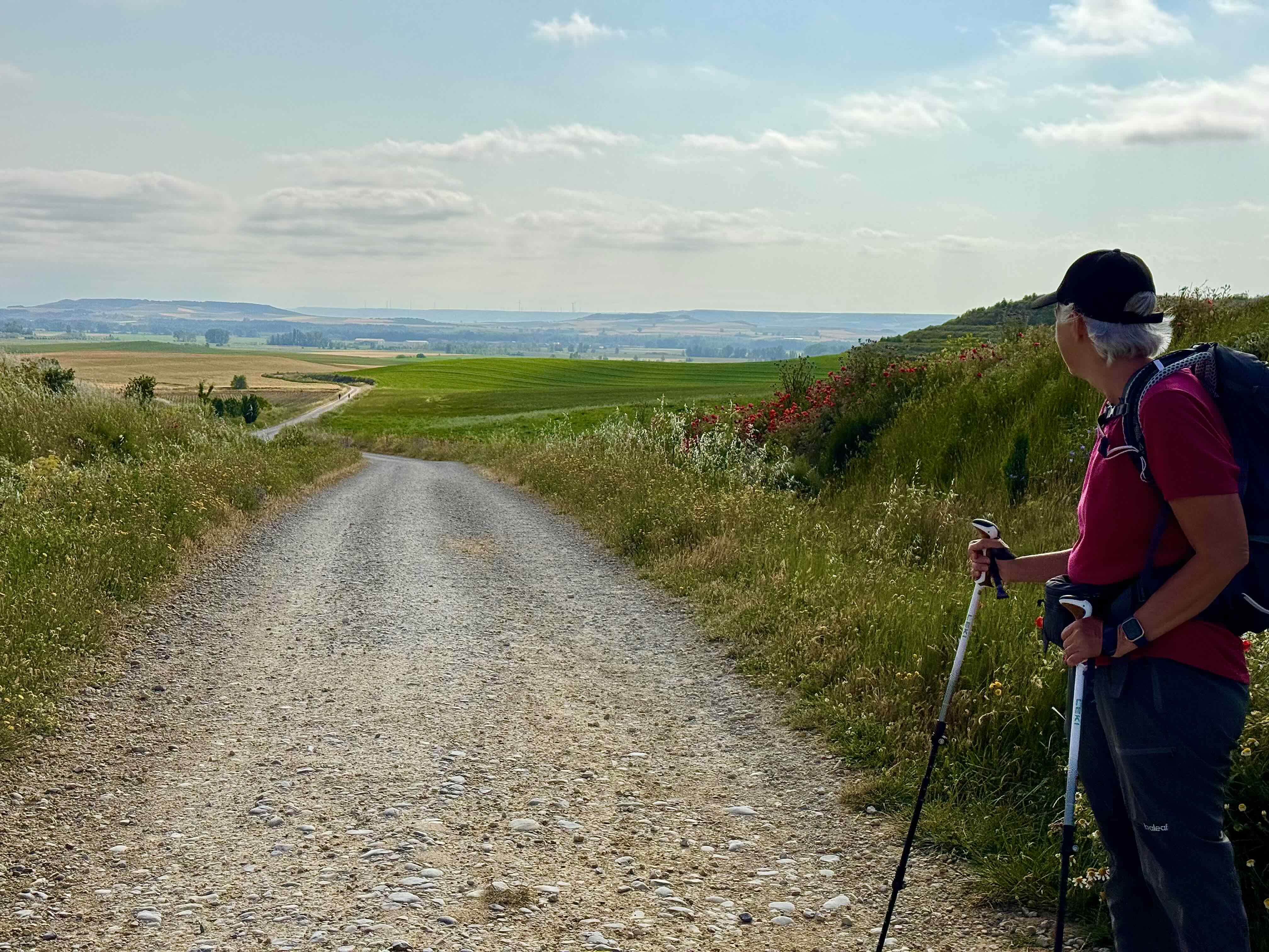
Trail Surfaces
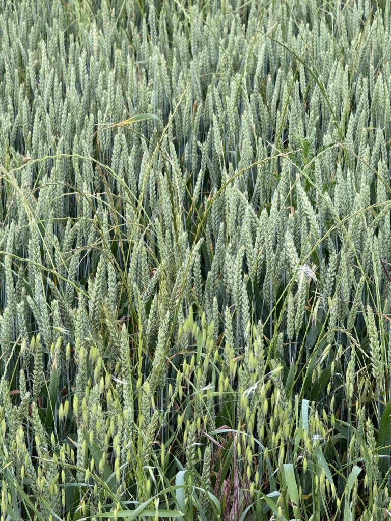
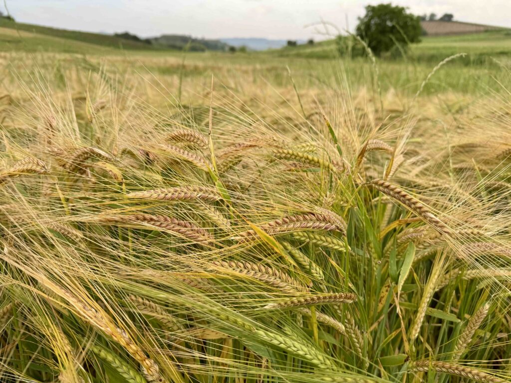
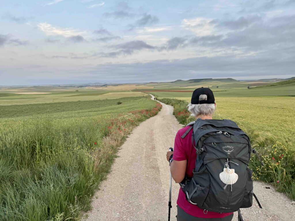
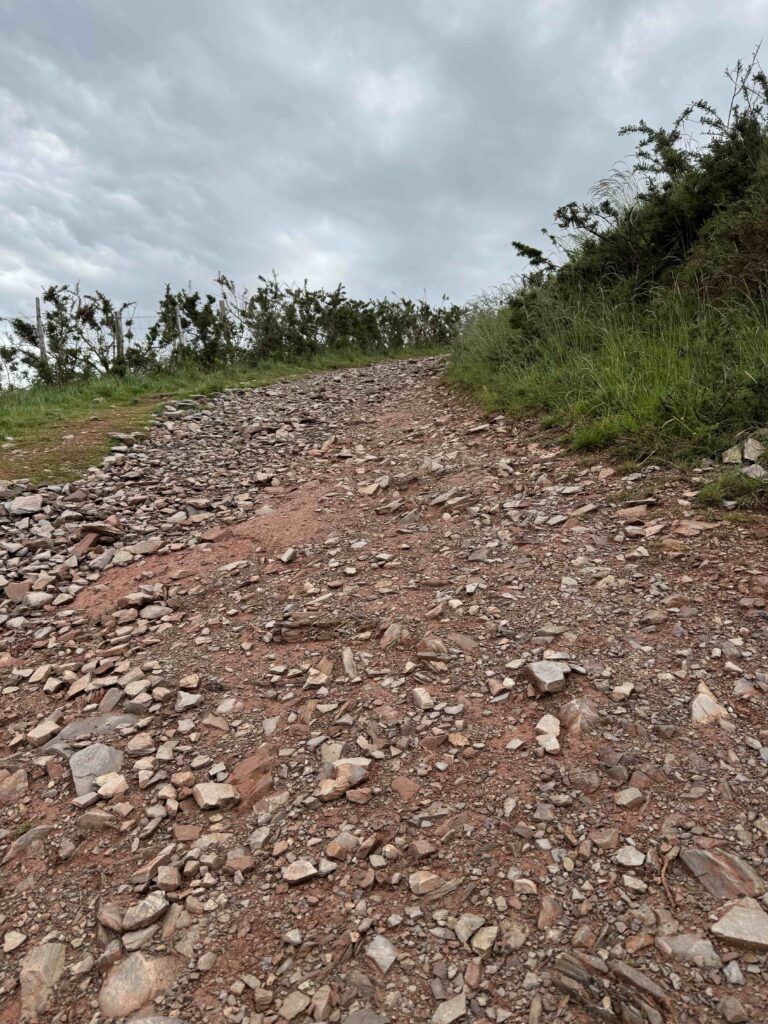
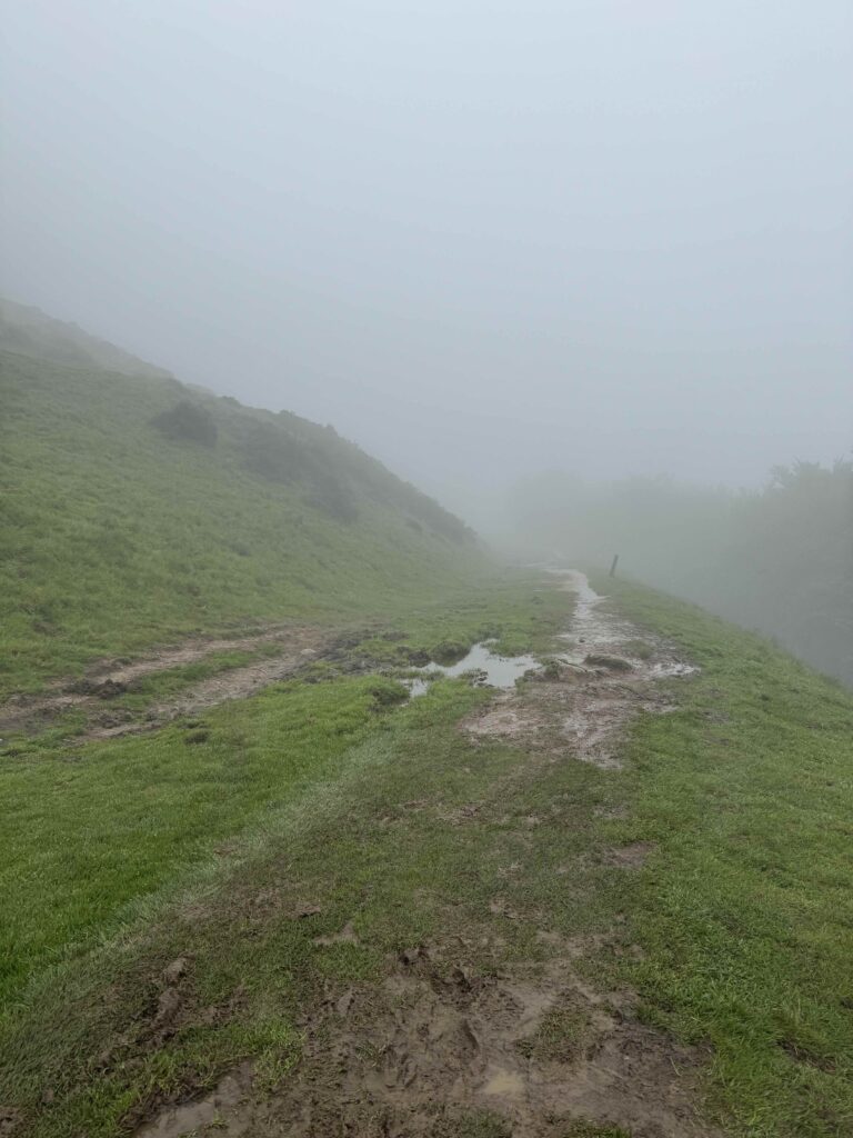
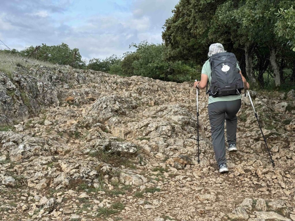
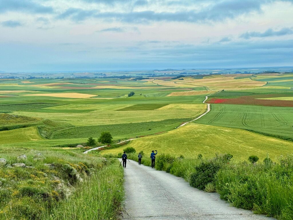
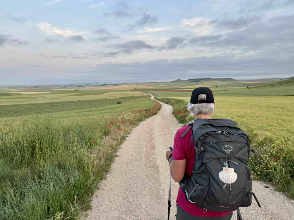
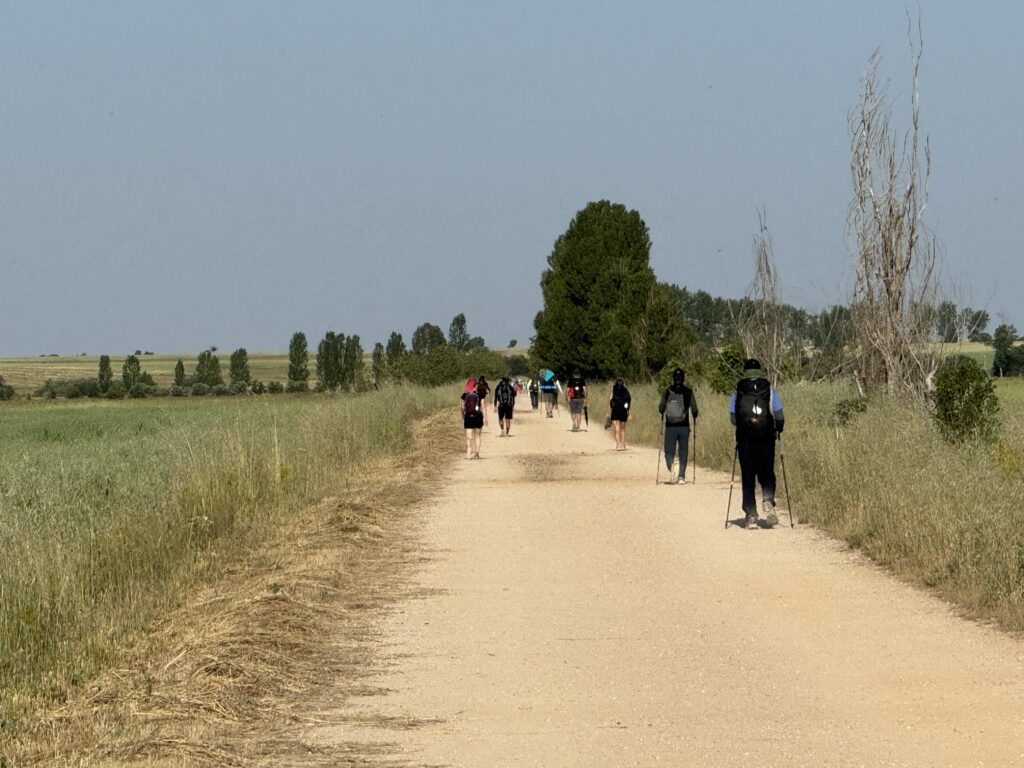
Trail surfaces vary wildly and change often unless you are on The Meseta where the surface is fairly consistent like the first photo. In many cases you are watching every foot placement to try and avoid injury.
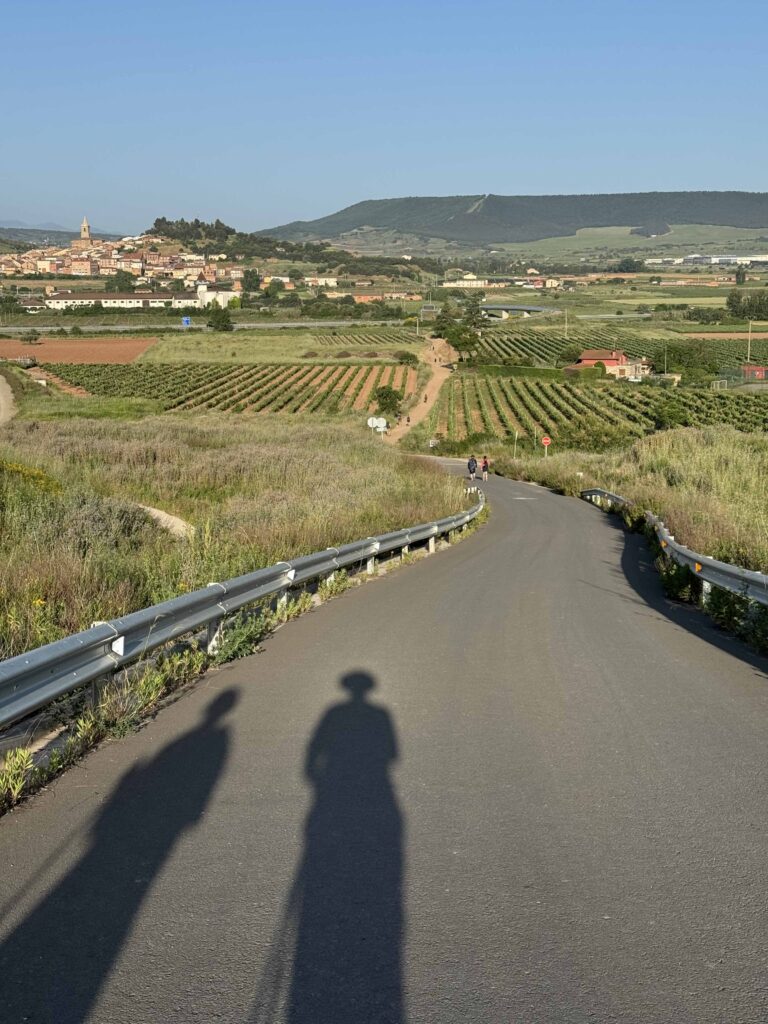
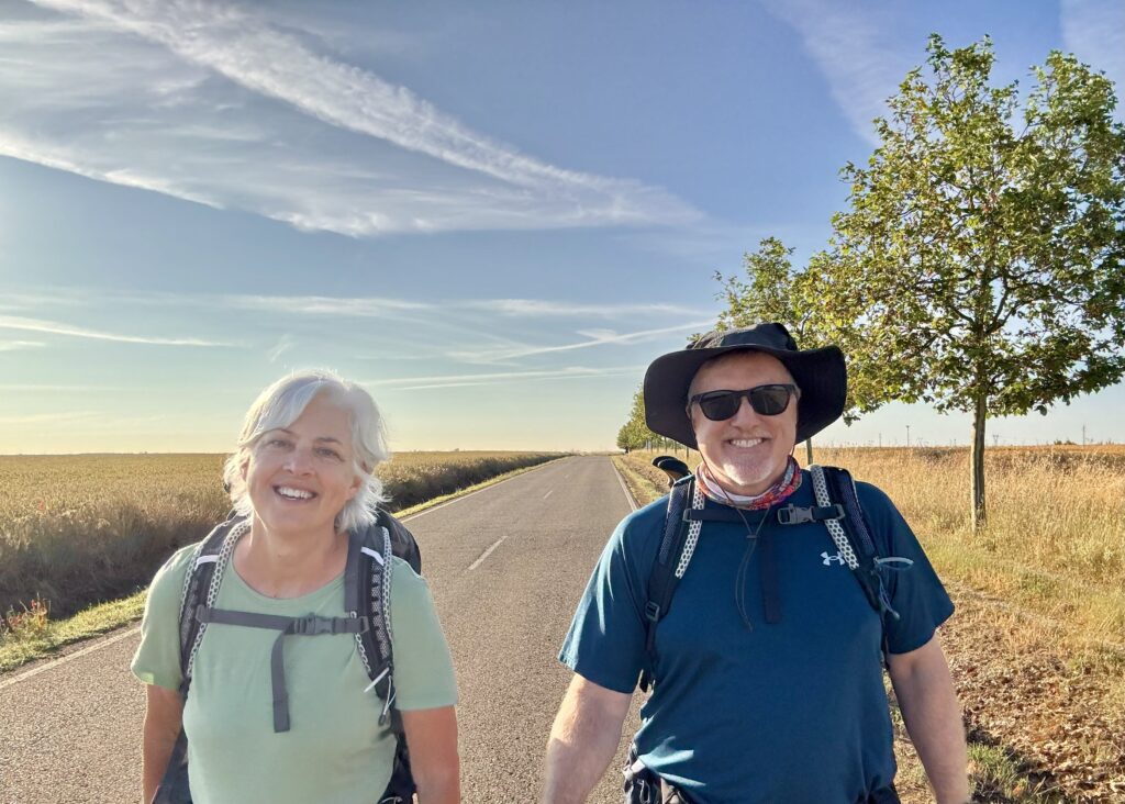
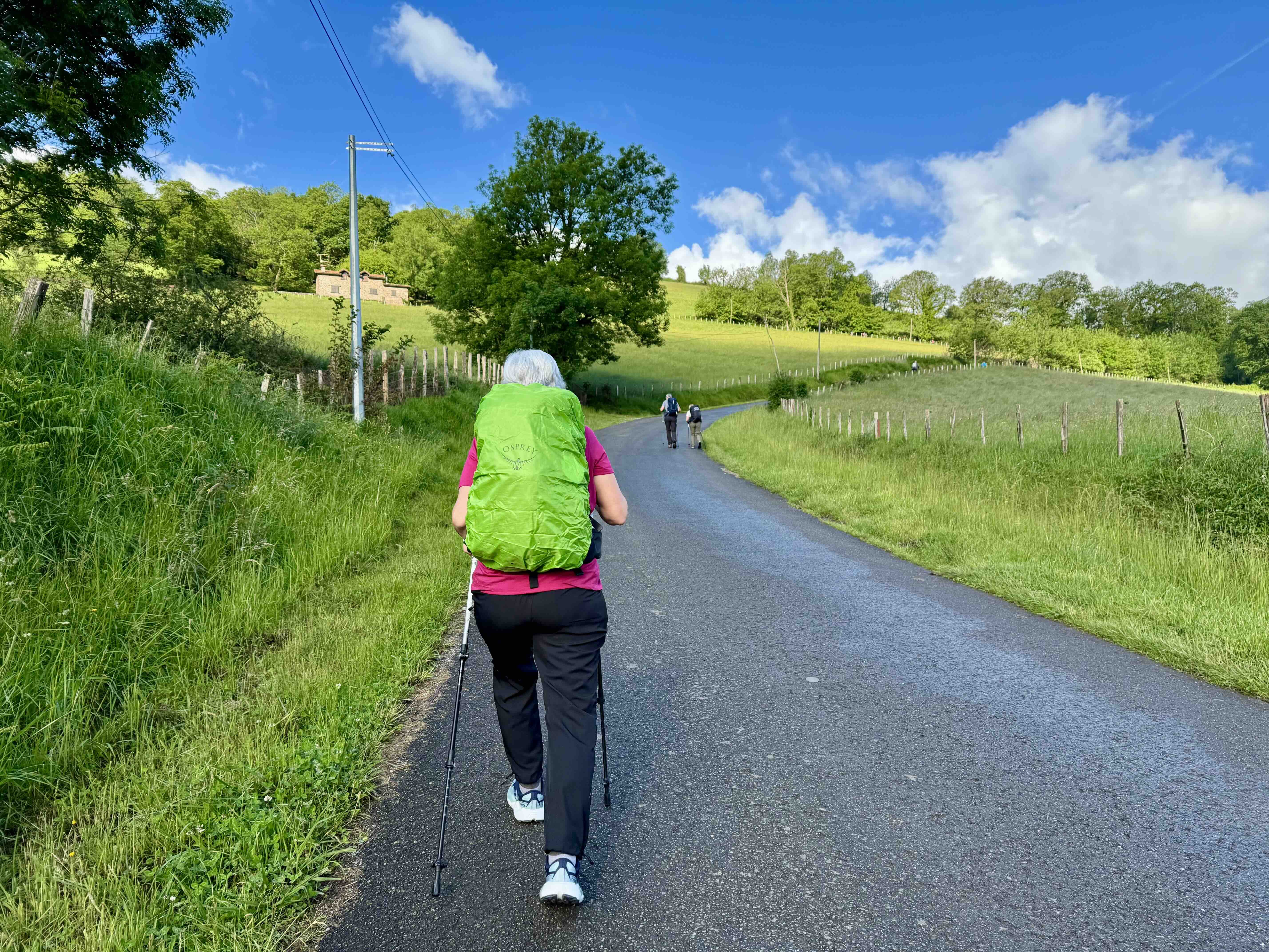
Getting started on The French Way

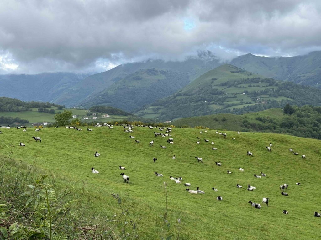
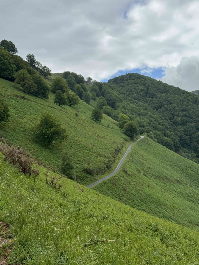
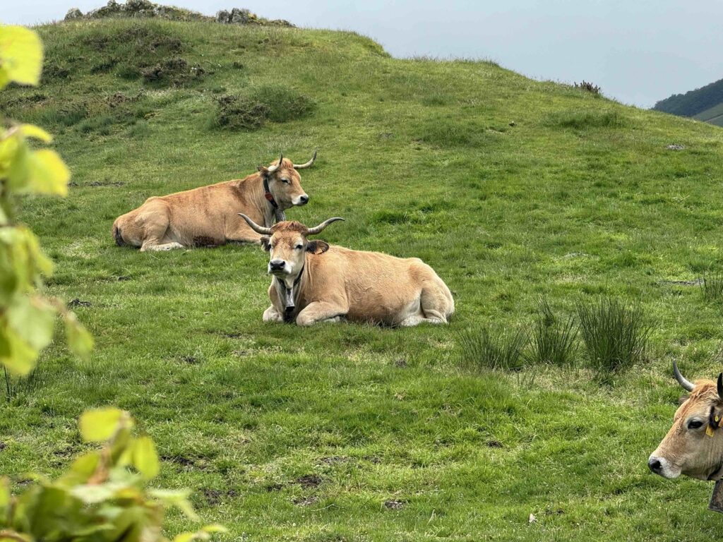
Up and over the Pyrenees
The Meseta

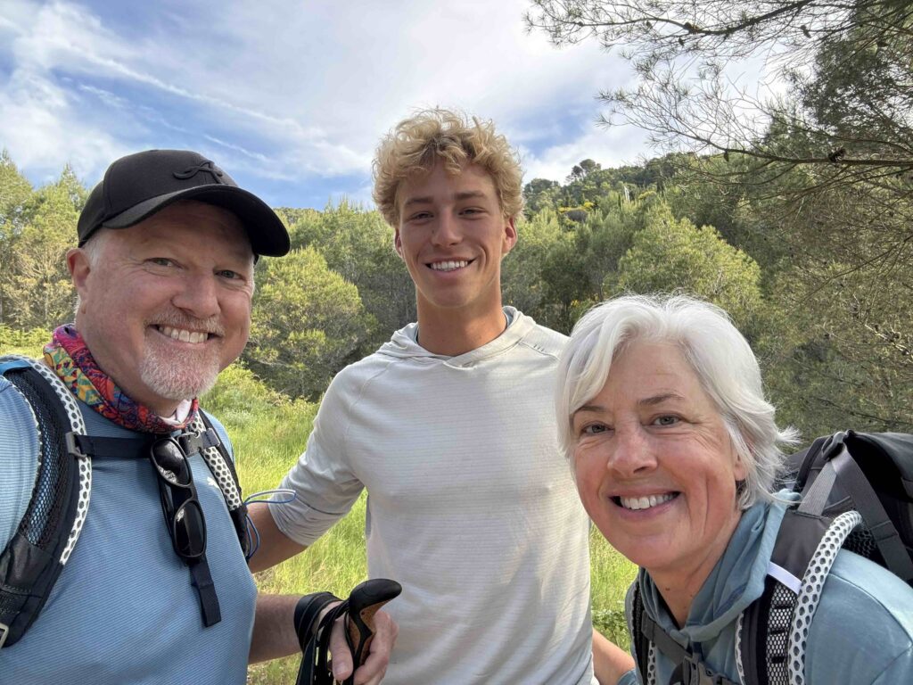
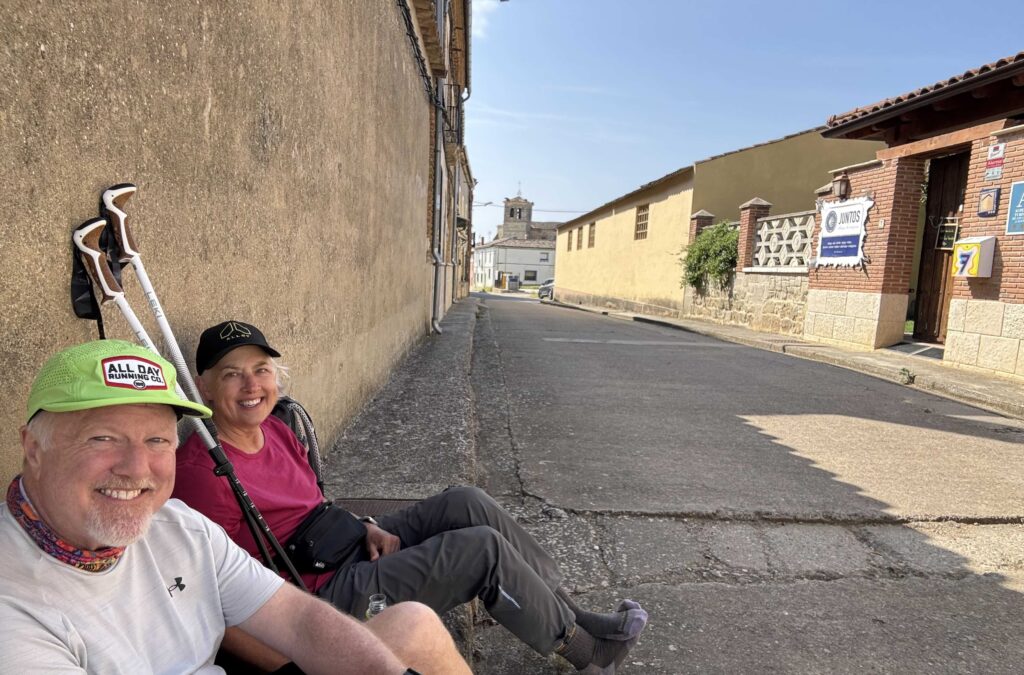
Cool People


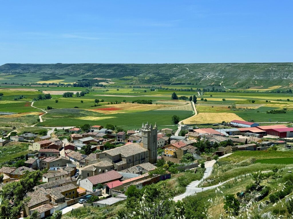
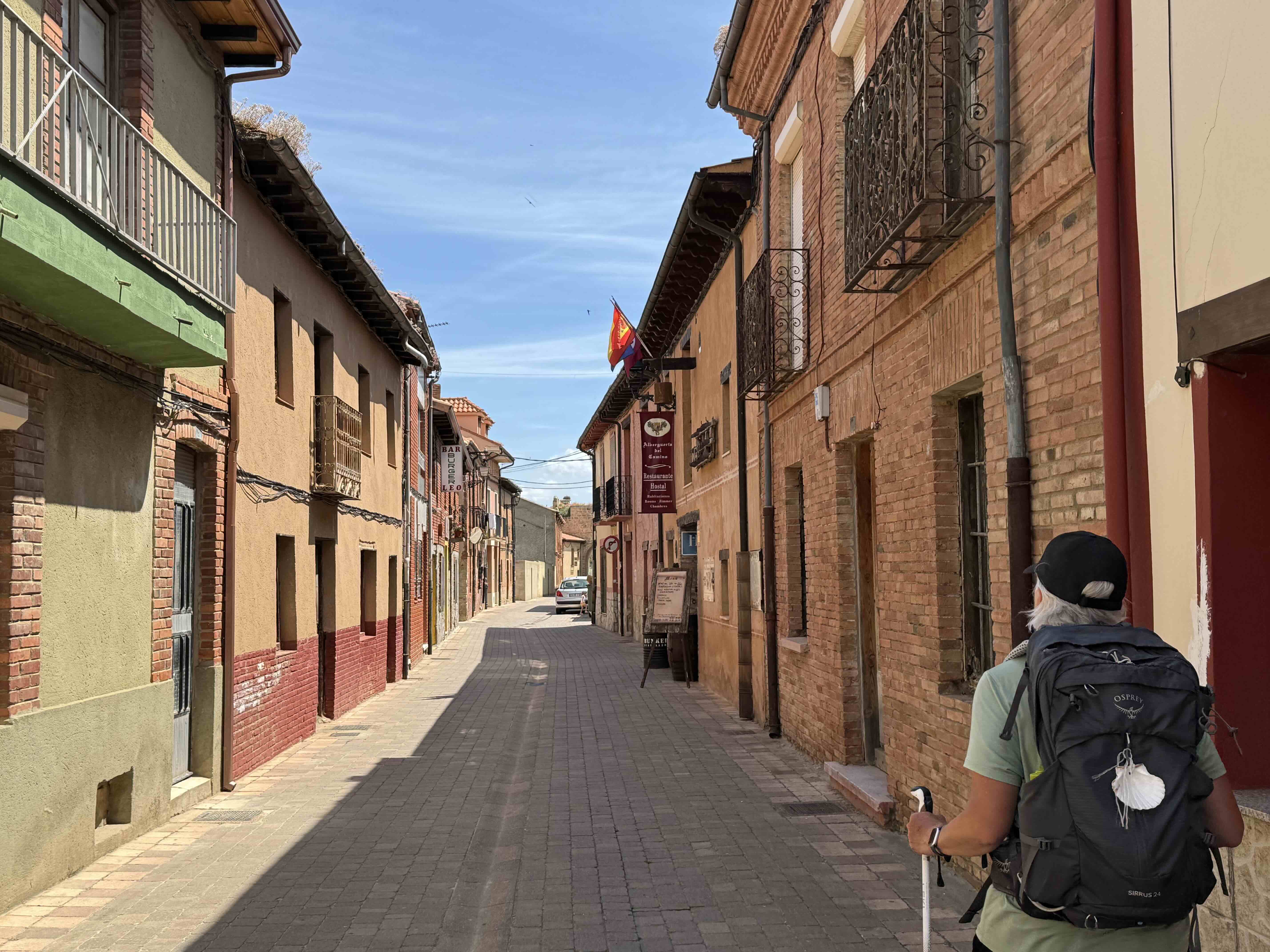
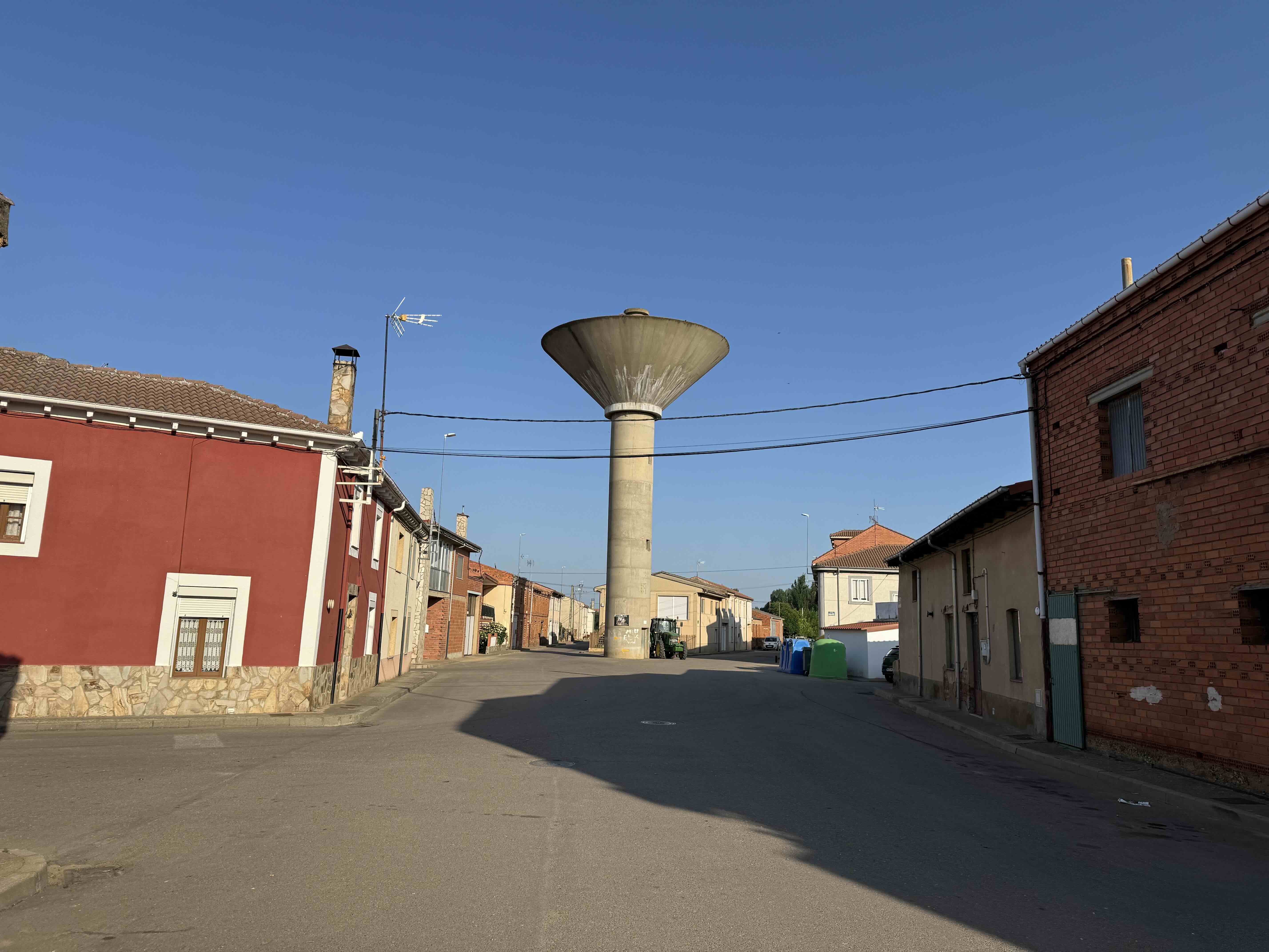
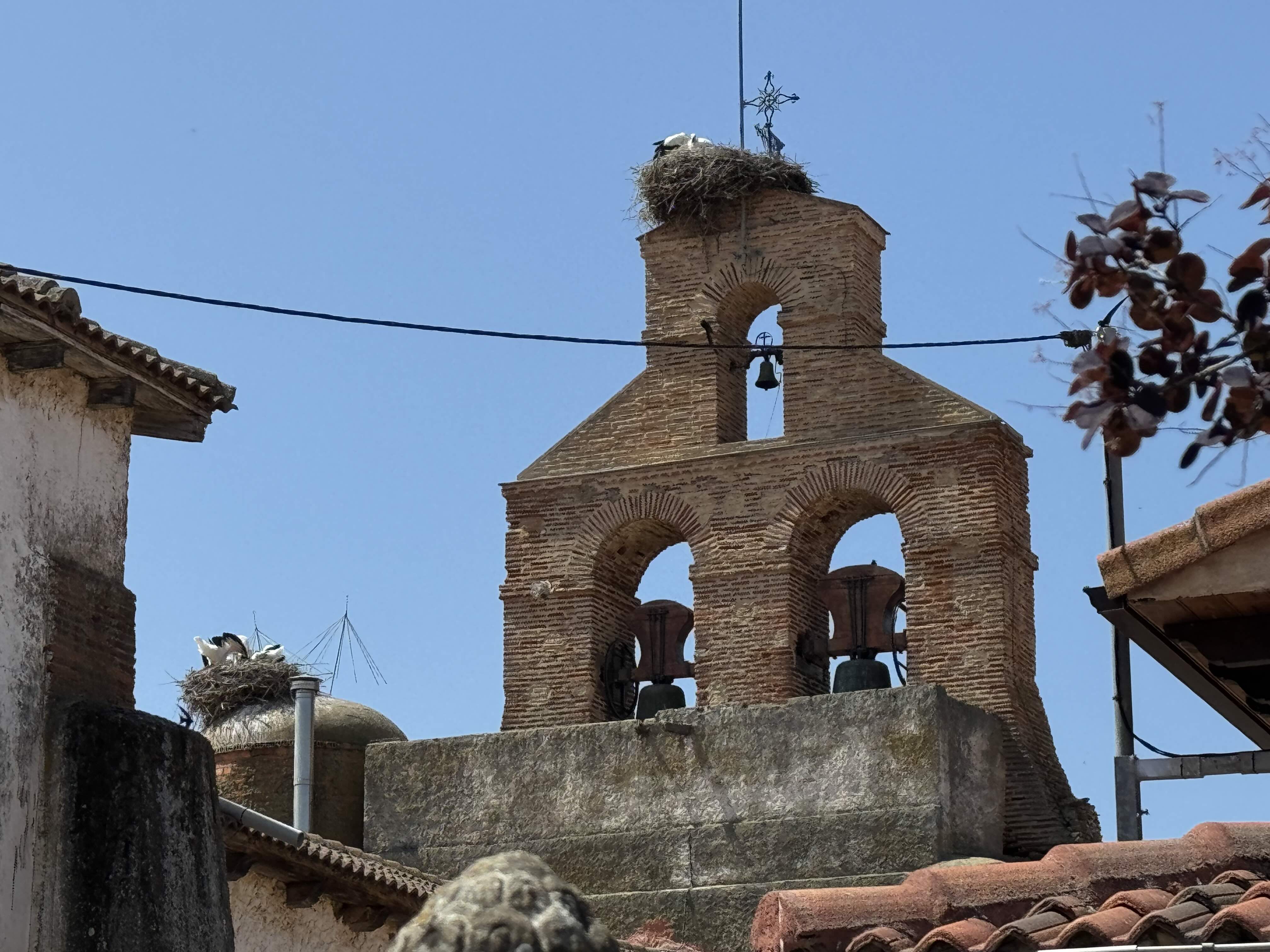
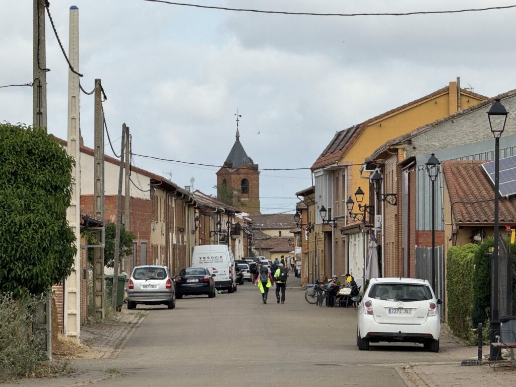
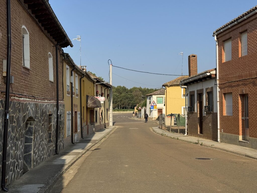
Small Villages
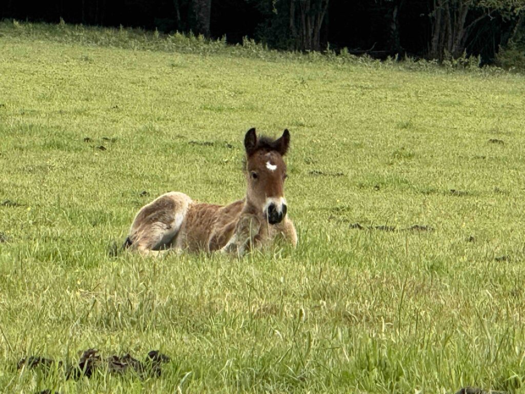
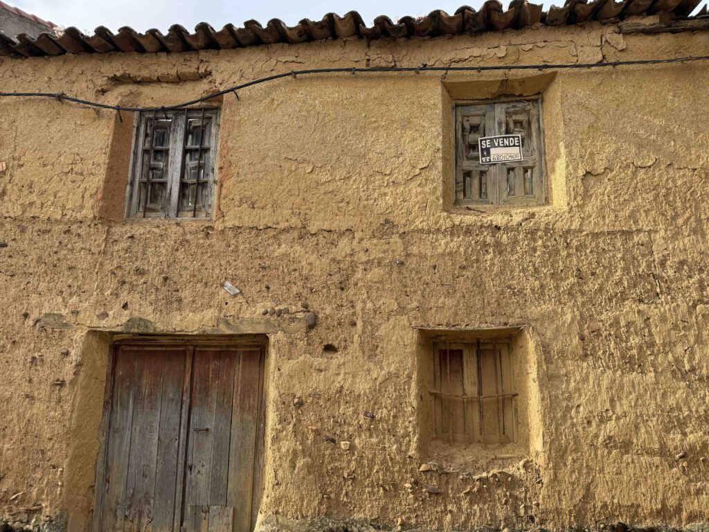
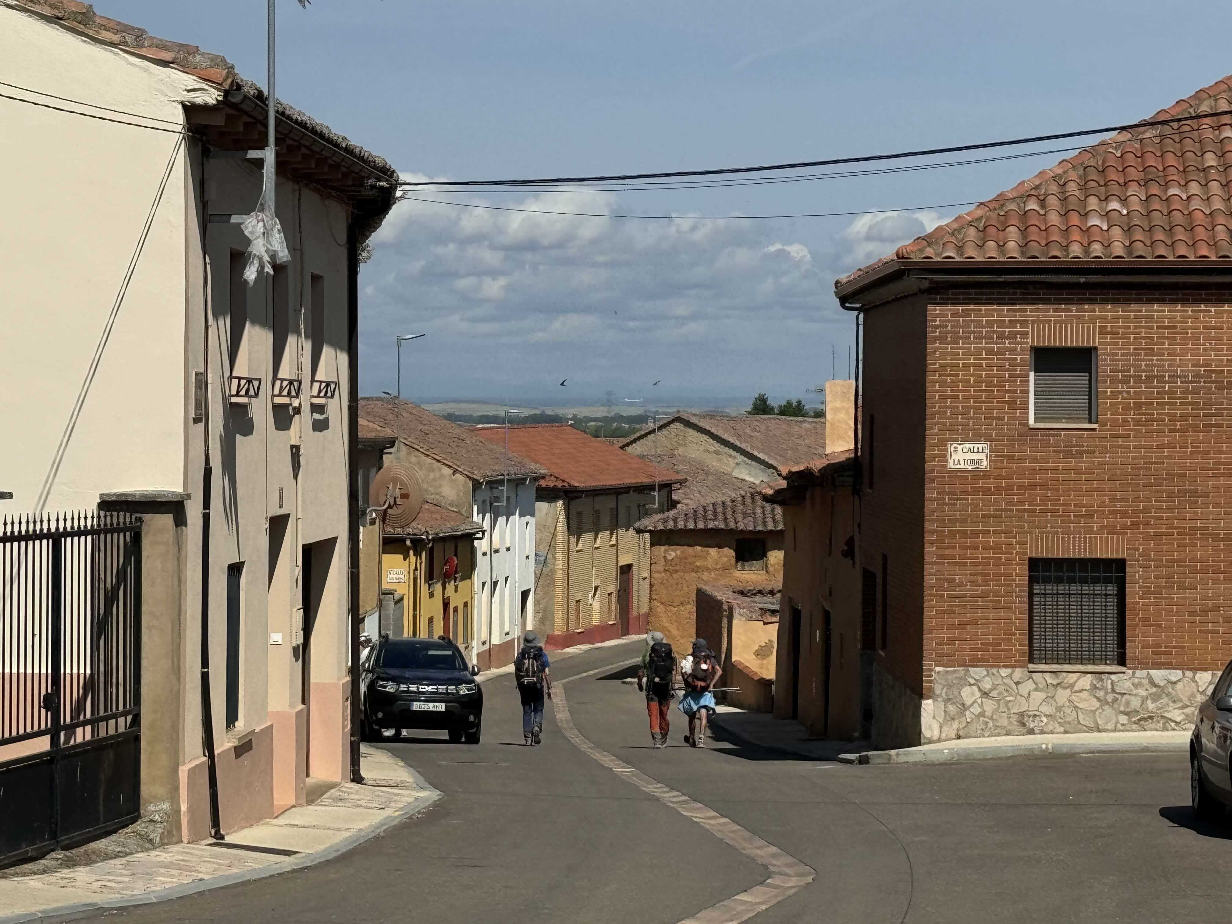
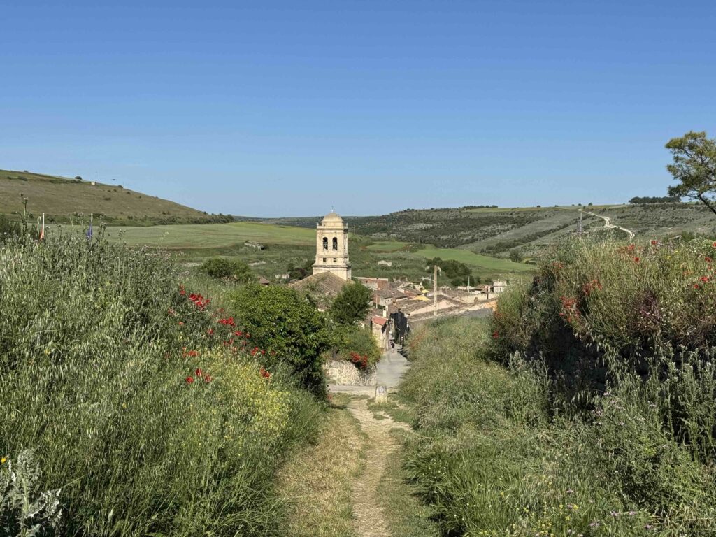
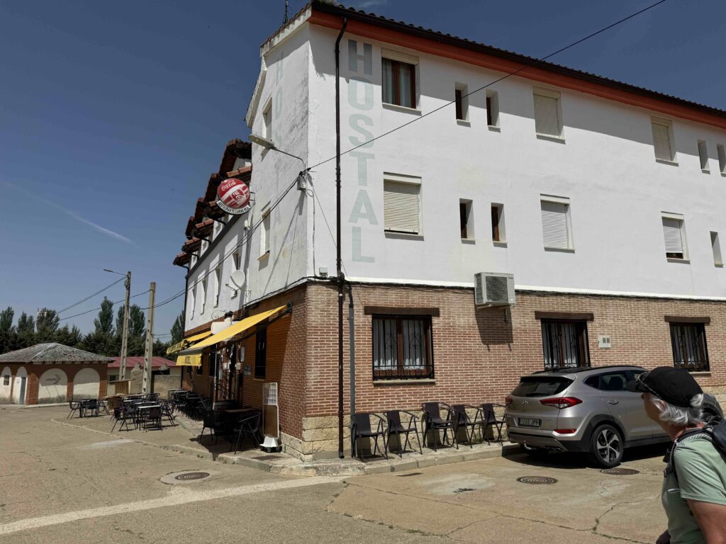
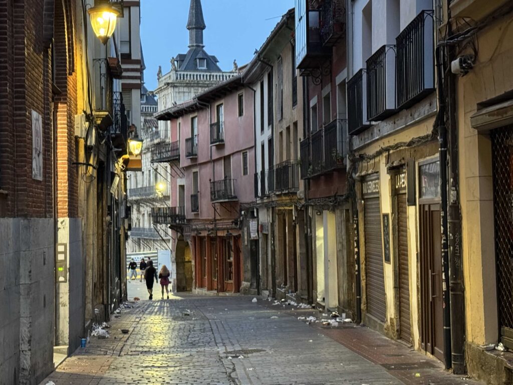
- This pilgrimage is mostly through small old rural Spain villages. There may be one small bar or cafe open plus a couple of albergues (Albergue is a Spanish word for pilgrim’s hostels on the Camino de Santiago).


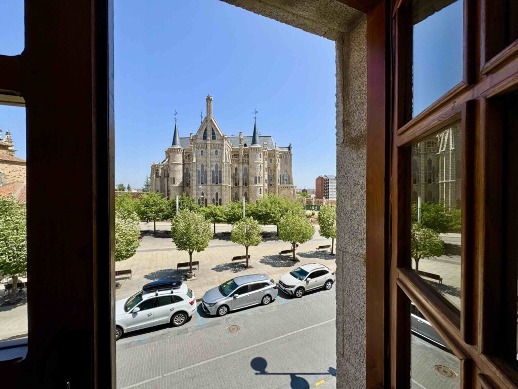
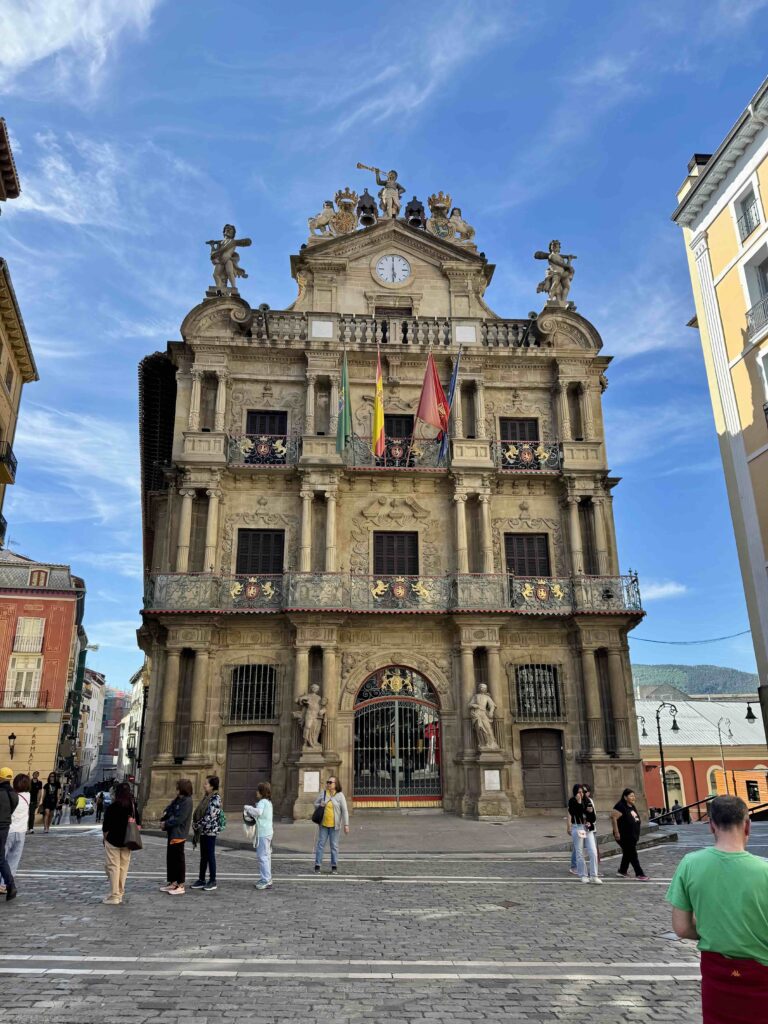
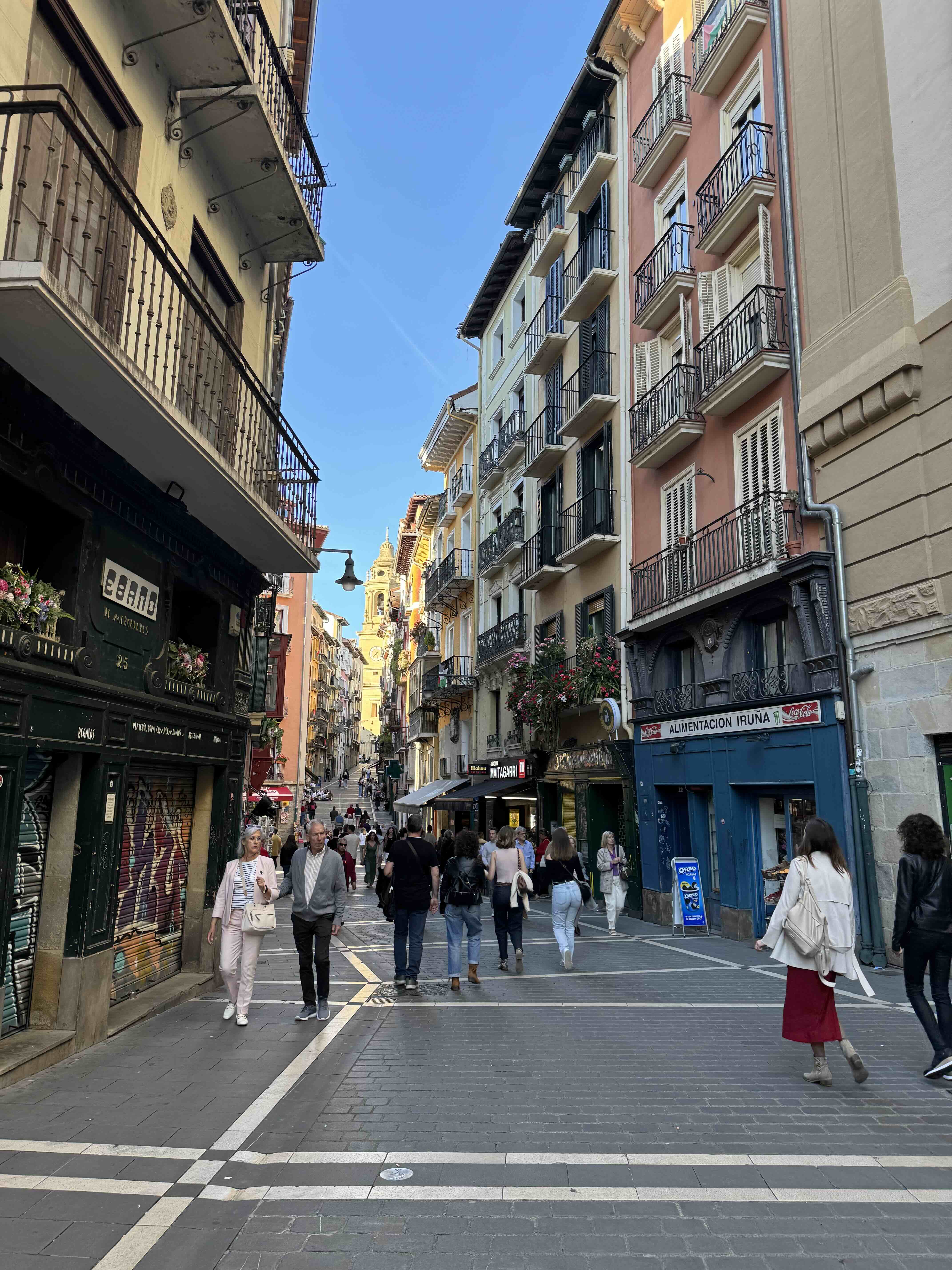
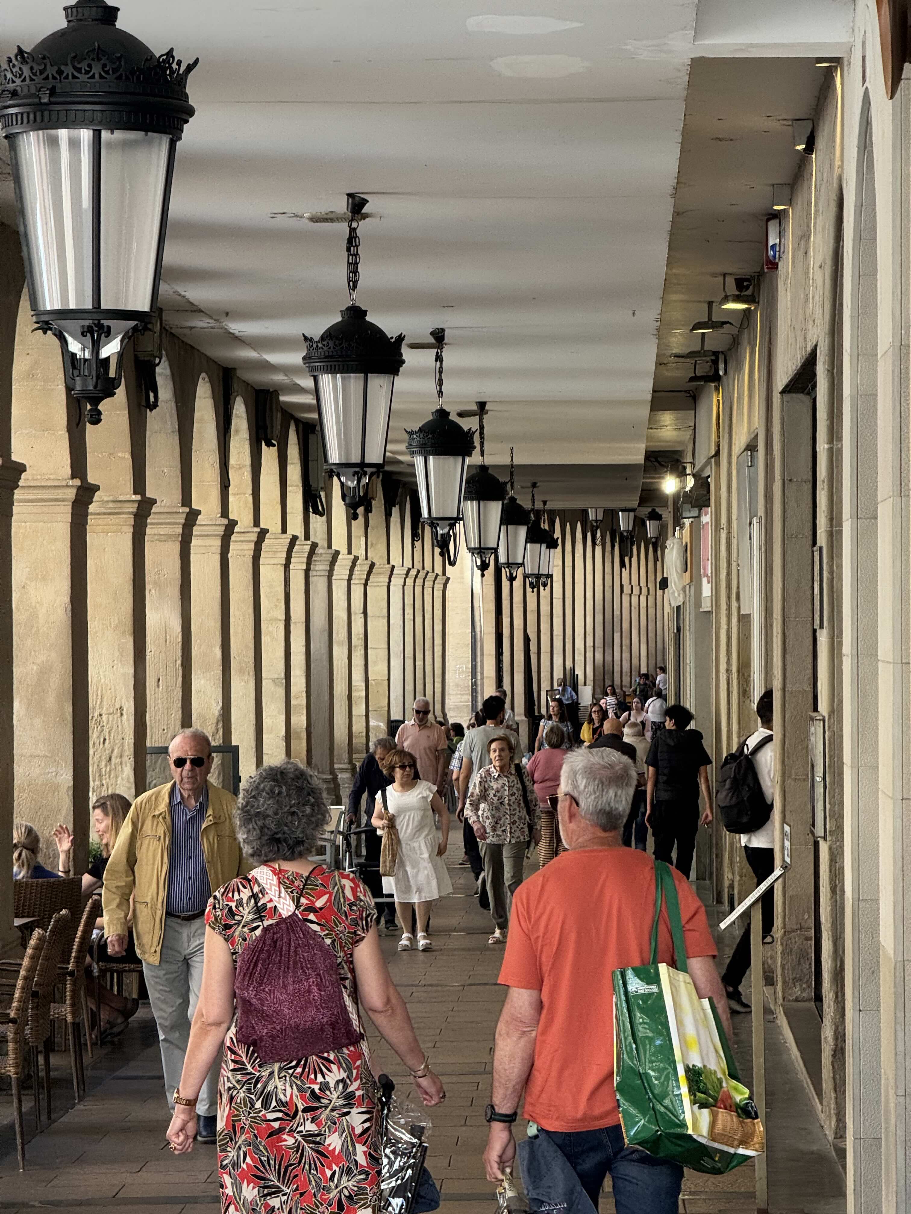
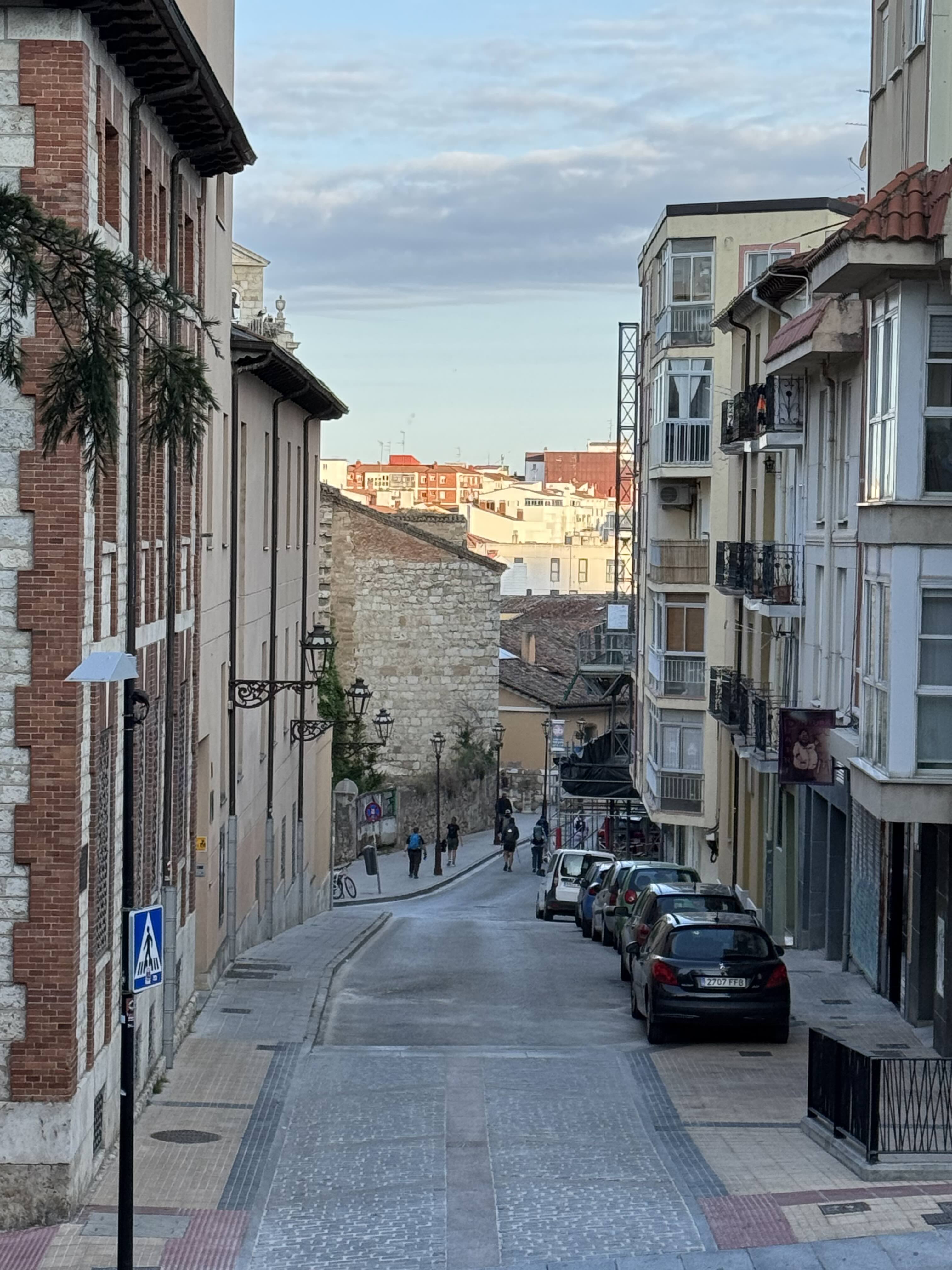
Big Cities
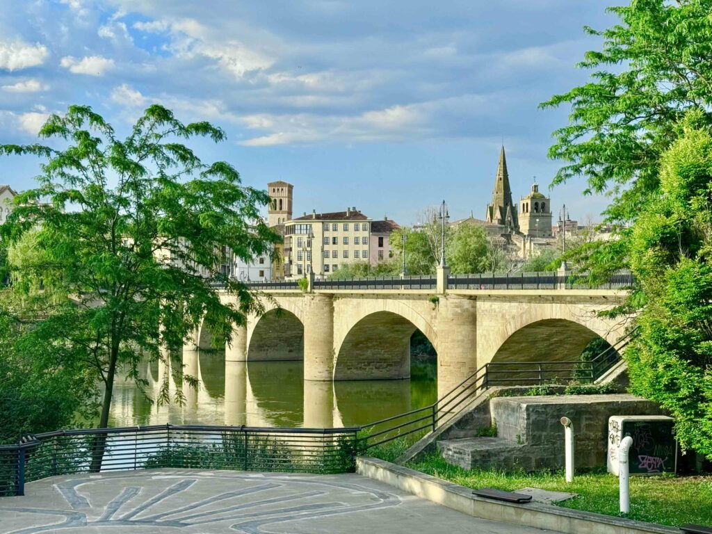

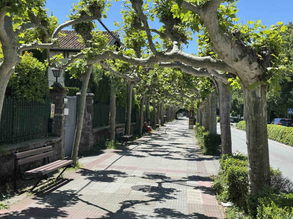
Pleasant Surprises